Last Days In The Desert

May 16 to May 30
On May 31st, I have an appointment in Grand Junction, CO at the RV dealer where I purchased the Nash to perform a couple repairs before my warranty expires the end of June. Although it is a little late in the season to still be in the desert, I plan to spend the couple weeks prior in Moab.
There are several BLM boondocking areas to the north of Moab. As I head south on Hwy 191 from I70, I first drive up Klondike Bluffs Rd. The road is pretty rough for the first half mile and a lot of the spots are taken. About a mile and half in there is a spot open that is tucked behind a little knoll off the main road. I decide to continue south to check a couple other areas. Darby Wells Rd is next up; it was very sandy and poor cell reception. Then further south a little bit to Willow Springs Road. Wow, I couldn’t believe how many rigs were camped along this road! And again the cell service was very poor. After being without cell for the last three weeks, I really wanted to have a good signal.
I decide to go back to Klondike Bluffs Road. The Verizon service here was blazing – there must have been a tower to the north towards I70 that I was connecting to with 105mb download speed. Once I got set up in the site, it turned out to be a good choice.
I had thought of doing some hiking while here, but it was really just too hot! I had been to Moab before and visited Arches and Canyonlands. So I skipped them this time, since this is the peak season. Each time I drove by Arches, there was a long line at the entrance station.
Mill Canyon Dinosaur Track Site
Just across Hwy 191 from me is Mill Canyon Road, where there is a dinosaur track site and petrified bones. One morning I went over to check it out. The track site is quite large. There is a boardwalk around it to help preserve the tracks.

The green color is algae that was present at the time the tracks were made.


A little further up the canyon there is a short interpretive trail where there are dinosaur bones preserved in the rock. This photo shows several vertebrae.

There are several other dinosaur sites around Moab. This was the best of the ones that I saw.
LaSal Mountains Scenic Loop
I wanted to go check out the LaSal Mountains which are just to the east of Moab.

There is a 50 mile scenic loop that goes up the south end of the range and north along the ridges, joining Hwy 128 back to the Colorado River canyon.

The higher peaks are above 12,000ft elevation and the road gets up to about 8,000ft. It was so nice and cool up there!!
There were lots of wildflowers in bloom.


At the highest point of the road, there was construction for about a mile with an escort vehicle leading traffic through. So I couldn’t really get any pictures, other than snapping a quick photo while we were stopped.

The loop road meets Hwy 128 – turning west goes down the Colorado River canyon back to Moab. I took a short side trip east on 128 which climbs up into the hills again.


Then west on Hwy 128 into the Colorado River canyon. I really enjoyed the cool weather up in the mountains!


Shafer Trail
Another day, I drove up Potash Road to where the paved road ends at a boat launch area on the Colorado River. There was a gentleman preparing his boat to launch and I chatted with him for a bit. He leads boat trips on the river and was very interesting to talk to.

From here the unpaved road climbs out of the river canyon into Shafer Basin. The first couple miles the road traverses private land owned by Moab Salt. There are several evaporation ponds along the route. The water was an unnatural bright blue color.

I saw a lone desert bighorn near the ponds.

This brief history of Shafer Trail is posted on the sign where you enter public lands.


There are a few sections of slick rock to cross, nothing bad.


At about ten miles, the road nears the Colorado River at a location that is now commonly known as Thelma and Louise Point. This is the site where Thelma and Louise reached the conclusion of their road trip gone awry. I really love that movie, and when I found out this was the filming location for the final scene, I just had to drive out here 🙂
I didn’t get quite as close to the edge as they did in the movie though, LOL!


There was a group of folks from France at the point also. One of them spoke English and acted as translator. They were very interested in my truck and if I was traveling alone. I told them about my travels and asked about theirs. They were heading to Yellowstone to finish their trip in the US. After chatting, we said bonjour and they went on their way. I really enjoy meeting all the different people I encounter along the way.
Just past the point, I find the first narrow section of road with a drop off. It looks scarier (at least to me) than it actually was.

I went as far as the gooseneck overlook, which is a gorgeous location. It is best photographed from up on top of the mesa in Dead Horse Point State Park. There you can see the entire gooseneck. I saved that for my next visit to Moab.

The last mile or so of Shafer Trail switchbacks straight up the canyon wall to the mesa top. It is just a lane wide, and there was no way I was going to drive my beast of a truck up it – haha! So I returned back down the road the way I came. There are many youtube videos of the switchback section if you want to see what it looks like. Just do a search on Shafer Trail. I watched a couple of them and was convinced to skip it. With a jeep or small 4wd it wouldn’t be as bad as with a big truck.
The first week I was here the temps weren’t too bad, but the last few days were pretty miserable. On Wednesday, May 30, I pull out of Moab, headed east on I70. At Colorado exit 2 there is a BLM area that is primarily for OHVs. There is a gravel RV camping area where I stop for the night. This puts me only about 30 miles from my appointment in Grand Junction on Thursday.
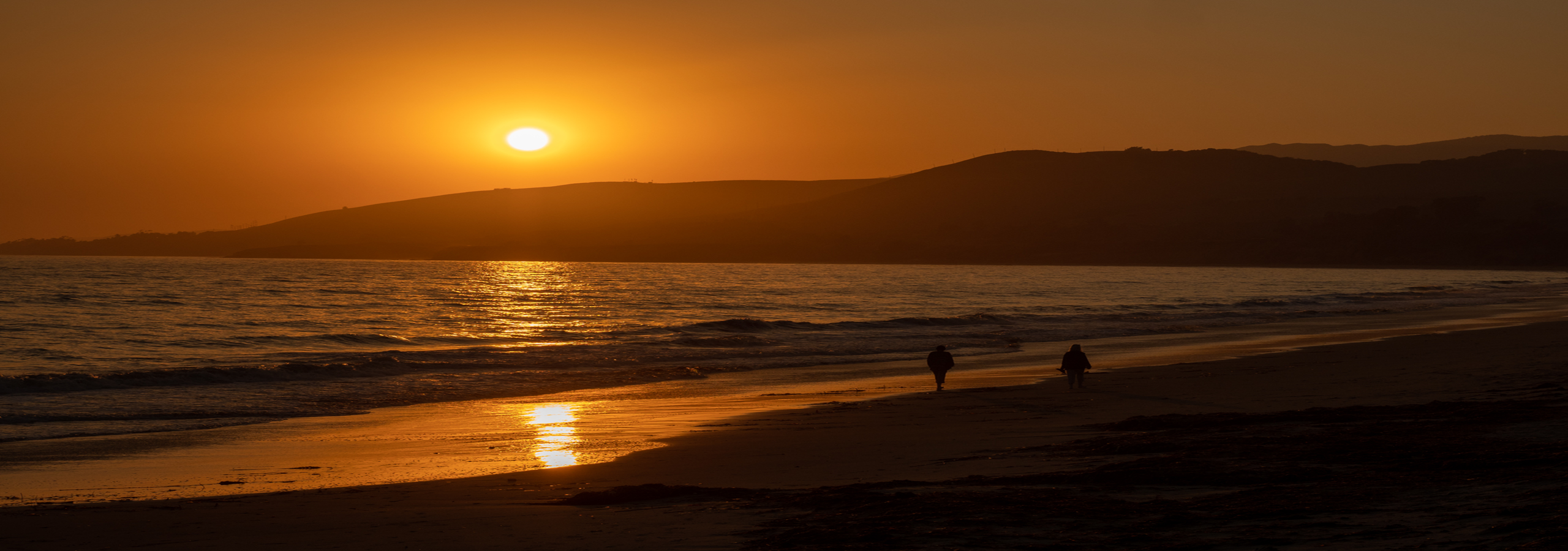
I have truly loved being in the desert; but after five months, I am so looking forward to getting up in the mountains and cool, crisp air!
Until next time, au revoir!

prickly pear cactus bloom


I definitely relate to wanting to be out of the desert!! OMG. 105 today!! We have to be here another ten days, and then we are on our way to Grand Junction for the summer and early fall. Will look forward to reading about your summer travels.
LikeLike
yep, 105 is HOT!! Grand Junction is on the border of desert so it gets pretty hot there also. But at least you aren’t far from the mountains there.
LikeLike
We know it gets hot in GJ, 90s all week there, but it cools down more at night and typically doesn’t reach 110 (or 120) .we hope!! And we’ll be in a house on two acres with a garden, lawn area, animals and our family. And only 15 minutes to the clinic and not on a busy Phoenix freeway or two hours across the desert!! Sounds like heaven at this point!! And…mountains are close so we will take off on short trips through the summer and fall. Happy travels!!
LikeLike
Absolutely, GJ is much better than Phoenix for all the reasons you mentioned! Being out on 2 acres instead of in the city will be wonderful. And with family makes it even better 😀 Wishing all the best for you!
>
LikeLiked by 1 person