Exploring Mexican Hat, Utah continued

The area around Mexican Hat and Bluff, Utah has so many scenic and cultural areas to explore. I’ll share some photos from a couple other areas I visited while here.
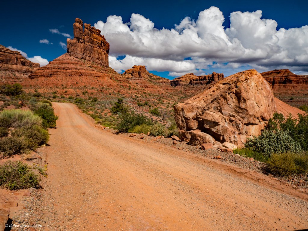
Valley of the Gods
This is a beautiful valley filled with sandstone rock formations. It is located on BLM land between Highways 163 and 261. There is a 17-mile gravel/dirt road through the valley with many primitive camping sites along the route. It is touted by the State of Utah as a less-crowded alternative to Monument Valley. It is well worth the drive.

Setting Hen Butte on right. Valley of the Gods, Mexican Hat, UT

Valley of the Gods, Mexican Hat, UT

Valley of the Gods, Mexican Hat, UT
Valley of the Gods, Mexican Hat, UT
When the road is dry, most vehicles should be able to navigate it. The end near Hwy 261 is somewhat rougher. If the road is wet, then 4×4 may be required to get up some of the hills.
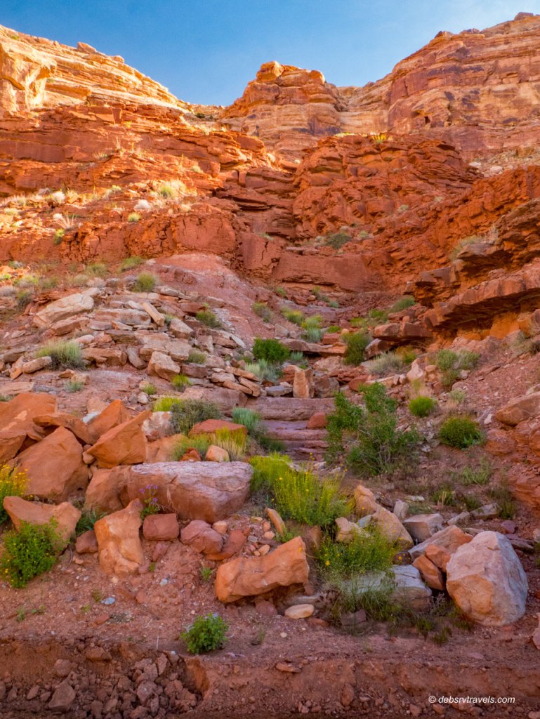
Johns Canyon Road
When I was up at Muley Point, I could see a grader down below grading Johns Canyon Road. I had wondered about driving that road in my truck. After seeing him, I figured if he could drive out there, I should be able to! One morning I drove the fourteen miles out to Johns Canyon Falls.

Flowers blooming along Johns Canyon Road
The mesa walls were beautiful
As the road nears Muley Point, the narrow roadbed hugs the side of Cedar Mesa in a couple places, with steep drop offs on the other side of the road. It did make me a little nervous but I got through okay.

Muley Point from down below
I saw one large petroglyph panel along the road with some very nice drawings.

Petroglyph Panel along Johns Canyon Road
The road winds along Cedar Mesa past Muley Point, then turns up into Johns Canyon. The canyon is fairly wide up to the falls.

At Johns Canyon Falls

It’s a tiny falls, but it is the desert after all!


There were lots of Mariposa Lilies

…and Bunchleaf Penstemon
Butler Wash Road
Butler Wash Road runs from Hwy 163 up to Hwy 95 atop Cedar Mesa. The area visitor centers have rough sketch maps showing several ruins and petroglyph sites along the road. I tried to follow the map for traveling south to north (starting at Hwy 163). The first site is the Wolfman Petroglyph panel. It was very easy to find this location. There is a small parking area with a short hike to get to the panel. It is a beautiful panel and very well preserved. Sadly it has been damaged by what looks like gunshots.

Wolfman Petroglyph Panel

Wolfman Petroglyph Panel
The map gives the distance from the starting point to reach each site. However there are numerous turnoffs all along the road and there are no signs or trails. It is very difficult to find the correct locations. Many involve bushwacking through heavy brush to get across Butler Wash and then hiking up into the canyons. I got off track with the mileage and so decided to leave this for another time.
It was fun exploring this area. I would like to return another time and camp up on Cedar Mesa. There many hiking trails and sights to see up there.

Abajo Mountains from Butler Wash Road

Utah is one of my favorite states! 🙂 These pics are gorgeous, love the one with the white flowers
LikeLike
Thanks M.B.! Utah was especially beautiful this spring with all the precipitation. The colors were stunning!
LikeLiked by 1 person
Love your photos. They are always amazing!
Was great to see you again at Westcliffe.
I forgot to wish you a happy birthday, so here ’tis!
LikeLike
Thanks Richard! It was nice to see you again. Sorry I didn’t get to say goodbye. I looked for you in between sets on Sunday but you all were away from your chairs. And by the time I could get over there after S&B finished up you had left. I may not make it next year as I am thinking of going north through the eastern Sierras and up into the northwest next spring. But that is a long way off and all subject to change 😀. Thanks for the birthday wishes and hope you have a nice summer!
LikeLike