Alaska Highway to Delta Junction

On our last day in Whitehorse, YT we drove south to Skagway, AK to ride the White Pass Railroad. The original railroad transported miners and their supplies to White Pass during the Klondike Gold Rush of the late 1800’s, early 1900’s. Skagway is about 110 miles south on the South Klondike Highway. It is a major cruise terminal with anywhere between 2,000 and 10,000 cruise ship passengers in town.

There was some sunshine early in the day giving nice views of Emerald Lake on the way south.

About 15 miles north of Skagway, the highway climbs over 3,292 ft White Pass. The Alaska/Canada border crossing is on the pass. It still felt and looked like winter in the higher elevations.
We arrived in Skagway in good time for our noon departure on the Summit Excursion. This trip lasts about 2.5 hours and goes 40 miles round trip to the pass where it loops around and returns the way we came. There are no stops on this trip. Other trip options are available.

Like most of the mountain trains, the White Pass RR is narrow gauge track. Our engine, #3002.
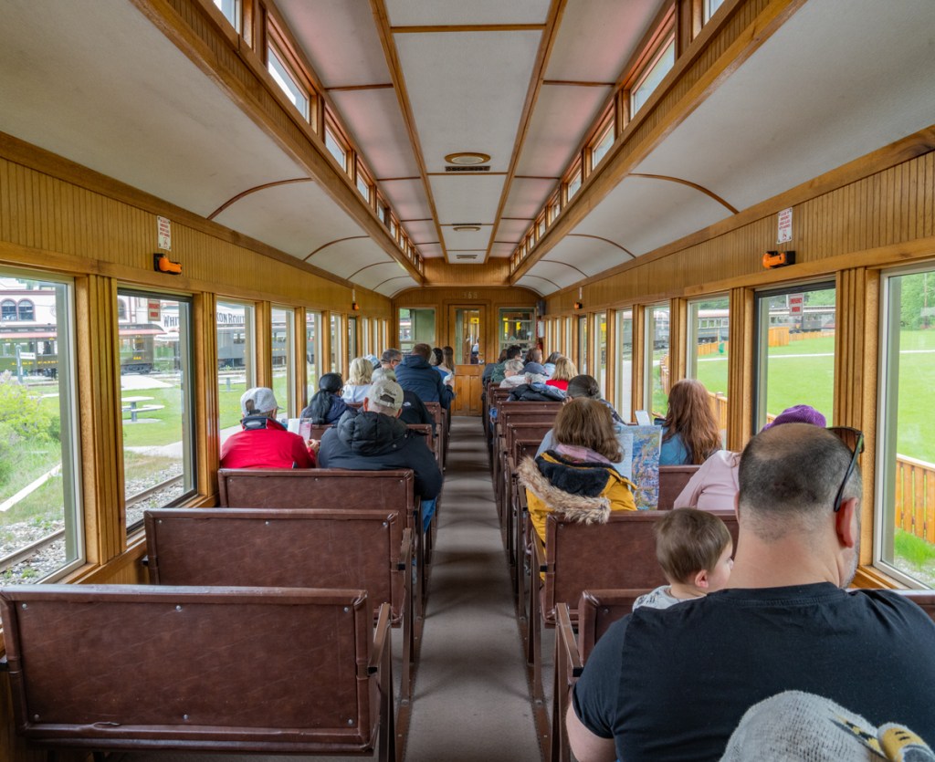
The passenger cars were nice with many windows giving good views.
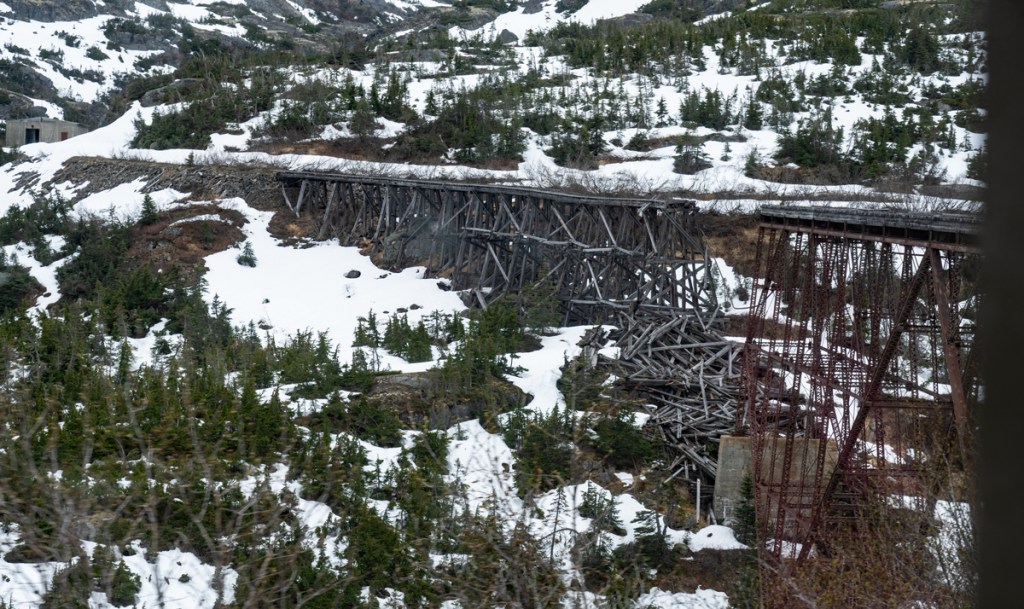
This is the old bridge. Somehow even when it was new, I don’t think it would inspire much confidence.

Our train coming out of one of the tunnels. There are no lights on in the passenger cars or the tunnel, so it is pitch black dark going through! The narrator does warn the passengers of this as we enter the tunnel. The trip lasts about 2.5 hours and is 40 miles round trip.
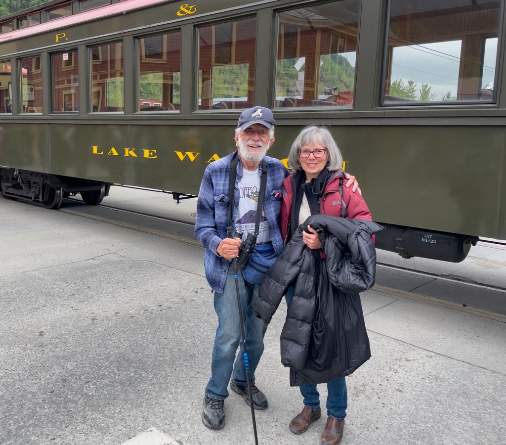
We had fun and enjoyed the scenery. The only wildlife we saw was a Hoary Marmot.
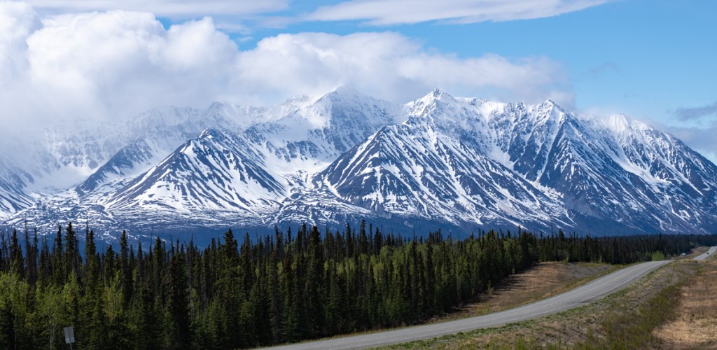
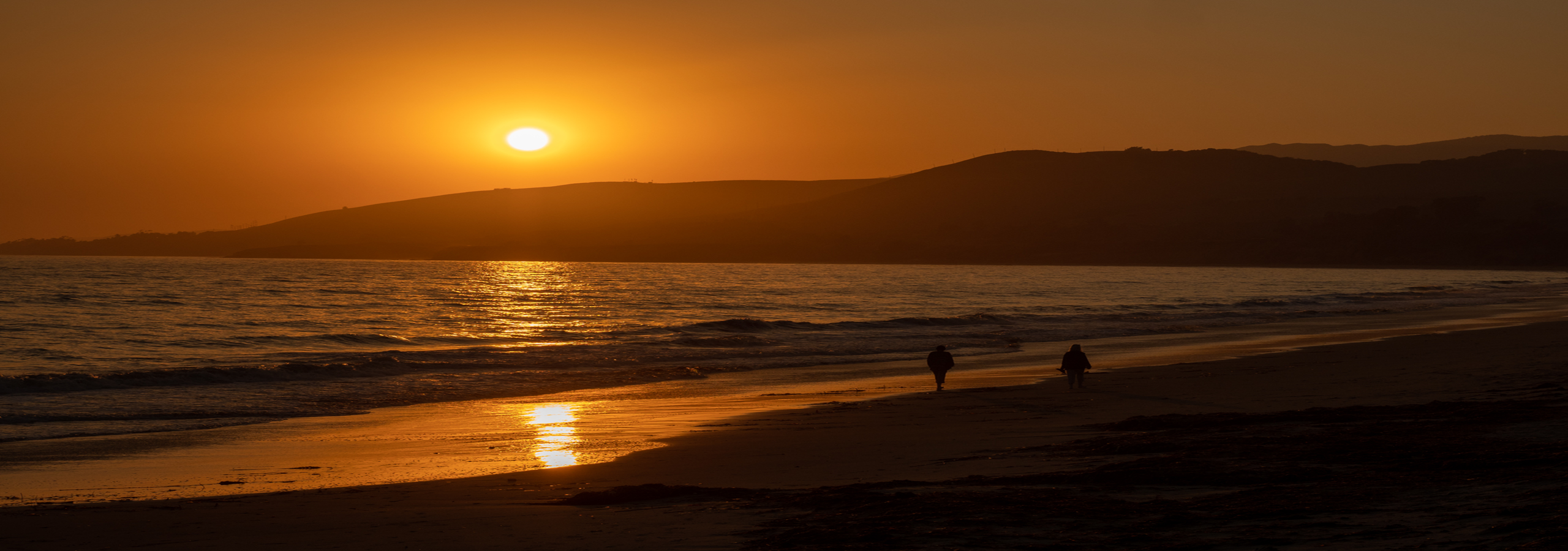
On Friday May 26th, we departed Whitehorse for the final drive to the end of the Alaska Highway in Delta Junction, AK. As you pass through Haines Junction where the Alaska Highway turns north, a wonderful view of the Icefield Ranges and the St. Elias Mountains appears. Canada’s tallest mountains are in these ranges including Mount Logan at 19,545 feet and six other peaks over 16,000 feet. North America’s largest non-polar icefield is here, with ice as thick as 2,200 feet or more. The view of these mountains was stunning! Thankfully, there is a large pull-out where one can stop to take in the beauty. The photo at the top of the post is also the Icefield Ranges.
From Haines Junction west about 400 miles to Tok is a notorious section of the highway. Much of the road was unknowingly built on permafrost, which is now starting to melt. The thaw and refreeze cycle results in dips in the road, known as frost heaves. These are difficult to see until one is close to them and the deeper ones can cause severe damage to an RV or other vehicle. Canada does a good job of flagging them, Alaska not as well. There are also long sections of gravel with extreme washboard, the worst I have ever seen. Even if we drove 5mph, the RV sounded like it was shaking apart. We drove very slowly, and allowed two days to get to Tok. Thankfully we arrived in Tok with no damage. We did get a chip in the windshield from a passing truck throwing up a rock.

The only wildlife we saw along the way was this Sharp-tailed Grouse laying down right next to the road. Several vehicles zoomed by but he just stayed there. By the time we got stopped, we were pretty far from him, so the photo isn’t great. This species of grouse can be somewhat difficult to see so it was a pleasant surprise.
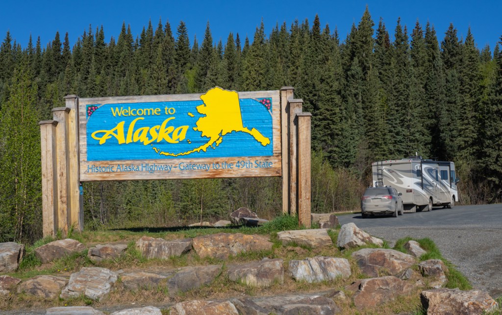
On Friday night, we had stopped at a rest area to sleep. On Saturday about 11am we arrived at the Alaska/Canada border. Our crossing was easy – asked the standard questions and sent us on our way.
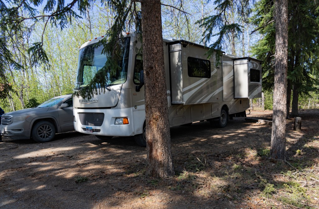

We continued on to Tok River State Campground and found a nice site on the Tok River. $18/ night. We had planned to stay one night but it was raining hard and forecast to continue through the day. So we decided to lay over another night.

On Monday we continue on to Delta Junction and the final milepost! I have finally driven the Alaska Highway, something I have desired to do for many years! Now we get to spend the next three months exploring the state.
We spent some time at the visitor center before beginning the drive south on the Richardson Highway. Our plan was to stop in Glennallen for one night and then drive to Palmer, which is about 40 miles north of Anchorage.
As we drove over Isabell Pass and along Summit Lake, the rain turned to a light snow. The temperature stayed above 32F so there wasn’t any accumulation. We arrived in Glennallen around 6pm and checked in to the Northern Nights RV Park for one night. We saw one moose along the way.
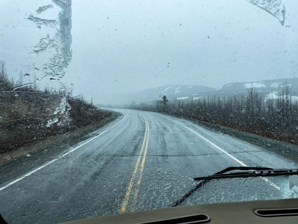
On Tuesday morning we arose to continuing rain. Checking the webcams along our route on the Glenn Highway, there was some snow falling with accumulation. But there were tracks in the snow where other vehicles had driven. We discussed whether to wait another day here or go on. We decided to go on.
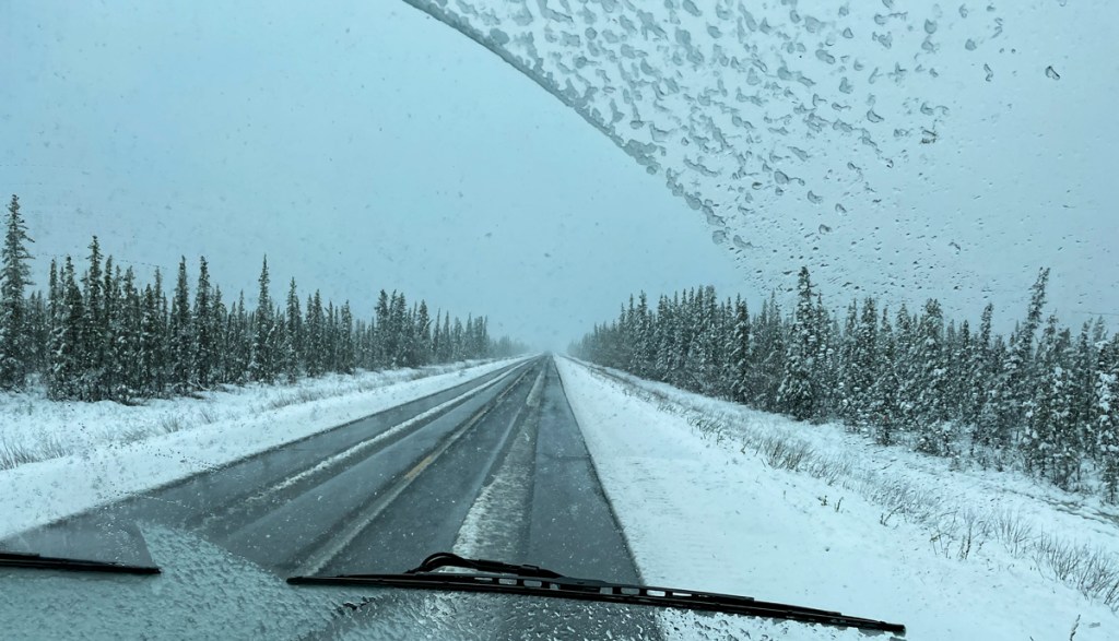
The snow was falling a little heavier today but the road was good. We drove about 70 miles, then the snow turned back to rain and the road cleared. It turned out we made the right decision to go today as Glennallen got 8 or 9 inches of snow through the day and overnight!
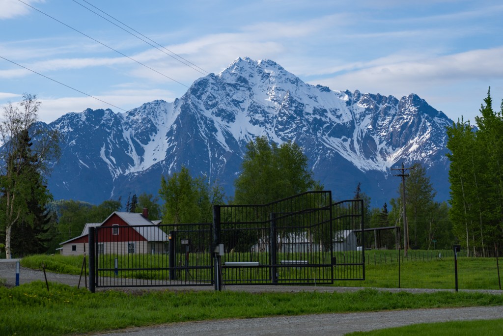
Taken from our site at Paradise RV Park in Palmer the morning we were preparing to leave.

What beautiful photographs!
LikeLike
Thanks Suzanne!
LikeLike