Day Trip to Newport

August 14, 2017
This morning I drive north to Newport, stopping along the way at a couple overlooks. The views are still jaw-dropping! This being my first trip along the Oregon coast, I am overwhelmed with how beautiful it is.

Heceta Head Lighthouse

I want to get to Newport to go to Yaquina Bay Natural Area to visit the tide pool at low tide. I arrive just before low tide. This area is operated by the BLM, so my parks pass gains me free entry. I really like that pass 🙂 I park at the visitors center and then walk the path leading to the tide pool.
It’s fun exploring around the tidepool. There were lots of purple sea urchins, green anemones and other creatures. There were quite a few sea stars, but their arms were curled up, so they didn’t look like sea stars.


Yaquina Head cove & tide pool
This is also the location of the Yaquina Head Lighthouse, built in 1872. The lighthouse is open for tours but I didn’t do that since I had already toured the Umpqua Lighthouse.

Yaquina Head Lighthouse

Seals catching some rays – Yaquina Head
When I leave Yaquina Head, I drive into the downtown area of Newport that is along the harbor. They have the typical shops, restaurants, etc. that you find in small tourist towns. They also have their own resident sea lions living under the dock begging for hand outs. It is easy to find them, just follow the barking sounds.

Sea lions – Newport OR
The bridges along this part of the coast are very beautifully designed, including the one in Newport.

Yaquina Bay Bridge Newport OR
And the fishermen coming and going. . .

Fishing vessels at the mouth of Yaquina Bay, OR
After wandering around Newport for awhile, I continue south towards Cape Perpetua Scenic Area. The Cape Perpetua headland is the highest point on the Oregon coast, at over 800 ft above the ocean. There are several hiking areas in the Scenic Area. From the headland, one can see up to 70 miles along the coast. It is an awesome view, and thankfully it isn’t foggy today!

Cape Perpetua Scenic Area, from the headland overlook

Cape Perpetua Scenic Area

Cape Perpetua Scenic Area

West Shelter at observation point was constructed by the CCC in 1936

Cape Perpetua – one last view from the top of the headland
After visiting the top of the headland, I go back down to the visitor center parking lot to walk the trail leading to the beach. The trail leads to a tunnel going under US 101 and then out to the ocean.
It is just as beautiful down at shoreline!

Cape Perpetua – along the trail down to the ocean
There are some interesting features along this section. One is Thor’s Well. At high tide, the well fills with water as the swells come in, then empties as they go out. I didn’t get the best shot though. This is zoomed in quite a bit and didn’t catch it at the point when there is a lot of water flowing..

Thor’s Well
Also there is another fountain called Spouting Horn. At high tide, as the swells roll in, water is forced up through the rocks like a geyser.

Spouting Horn – Cape Perpetua
Guess which way the wind always blows?

Cape Perpetua
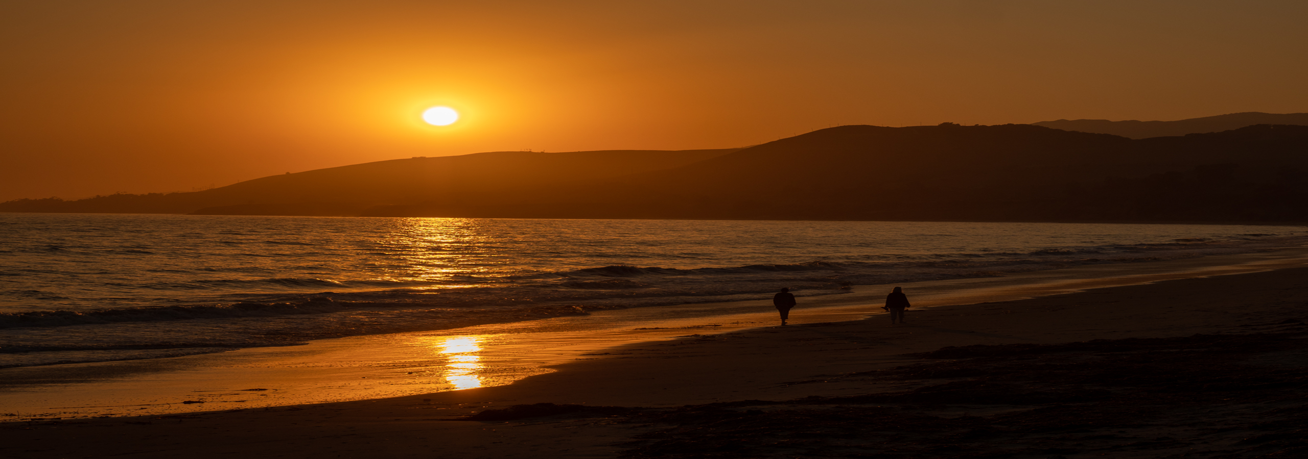
Driving the rest of the way back to Florence is one beautiful view after another. By the end of the day I have sensory overload!
This is my final day on the Oregon coast for this trip. I look forward to returning to visit the remaining northern Oregon and Washington coasts.


Tomorrow, I start the journey east.
